Reach 12 – 600m
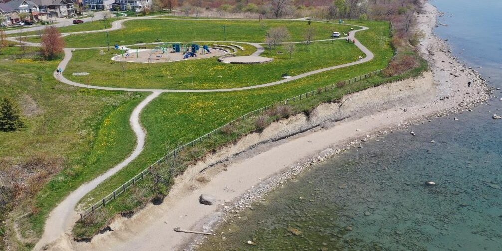
Reach 12 is the eastern edge of the project area, and features a sand beach and reemerging high bluffs curving around the park area. There is minimal impact on existing infrastructure here and it is designated a low priority.

Preliminary Remediation Options for Consideration
The preliminary proposed option for this reach is a revetment, however a cobble beach was also identified as a solution.


