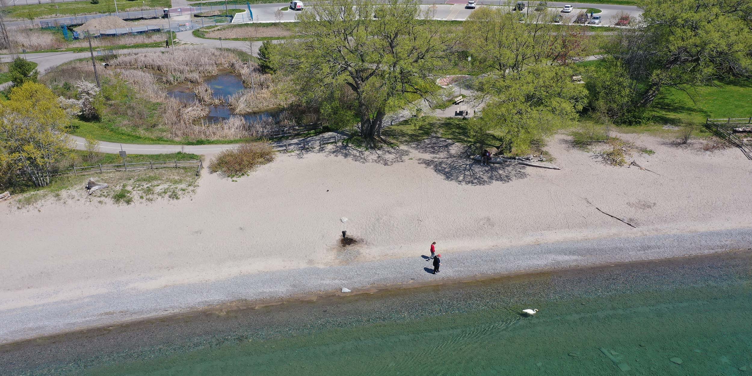
Reach 10 – 1060m
The site was given a priority of low during initial assessment of shoreline protection options. Unfortunately there are no shoreline options to address flooding at this site without impeding the recreational function of the beach. Localized trail raising may be explored through further initiatives, however shoreline protection is not recommended at this site.

Preliminary Remediation Options for Consideration
“Do Nothing” approach is the preliminary recommended option for Paradise Beach, with monitoring in place to document deviations from the baseline assessment. A nearshore reef was also proposed as an alternative at this site, and while this would reduce wave action it would not prohibit flooding.
Reach 11 – 520m
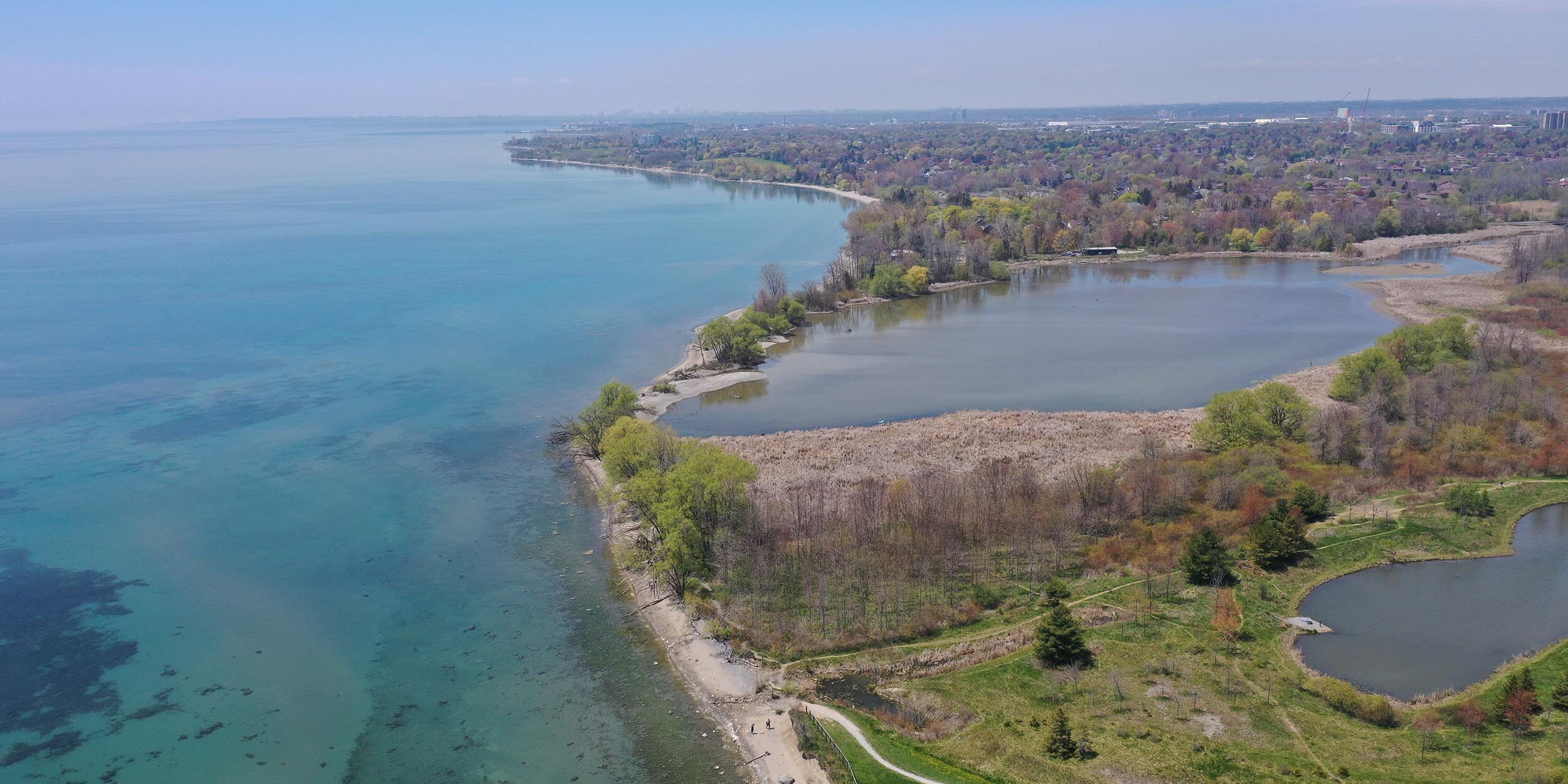
Reach 11 encompases the area around the Carruthers Marsh mouth. No significant erosion has been observed here and due to the ecological sensitivity of the area, no remediation measures are currently proposed.

Preliminary Remediation Options for Consideration
Based on the low risk and high ecological and environmental importance of the wetland, the “do nothing” option is being recommended as the most preferred choice.


