![]() Project Overview
Project Overview
Learn about the project
![]() Study Areas
Study Areas
Learn about studies + design concepts
![]() Live Event Recording
Live Event Recording
Watch a recording of the live event
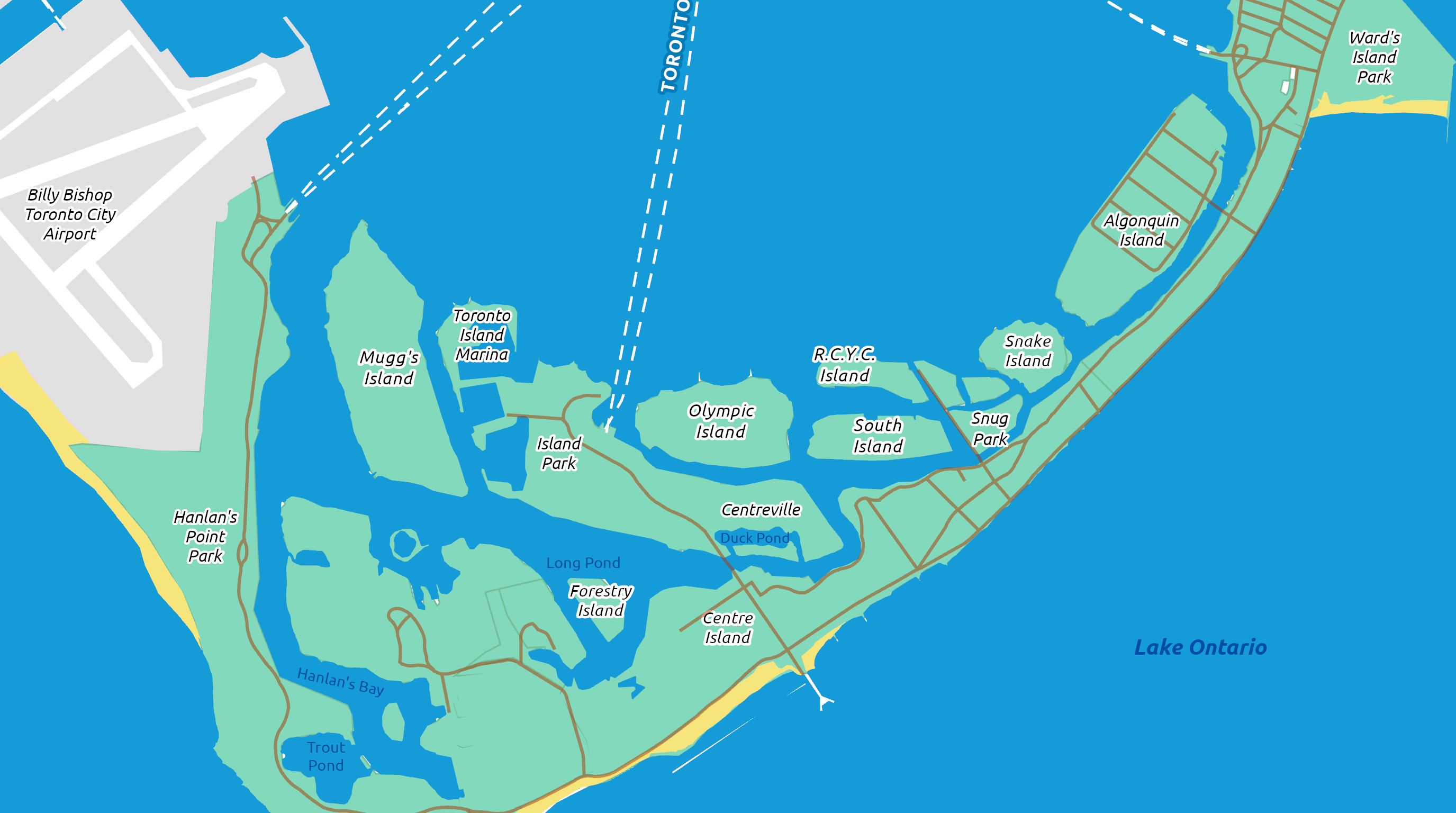
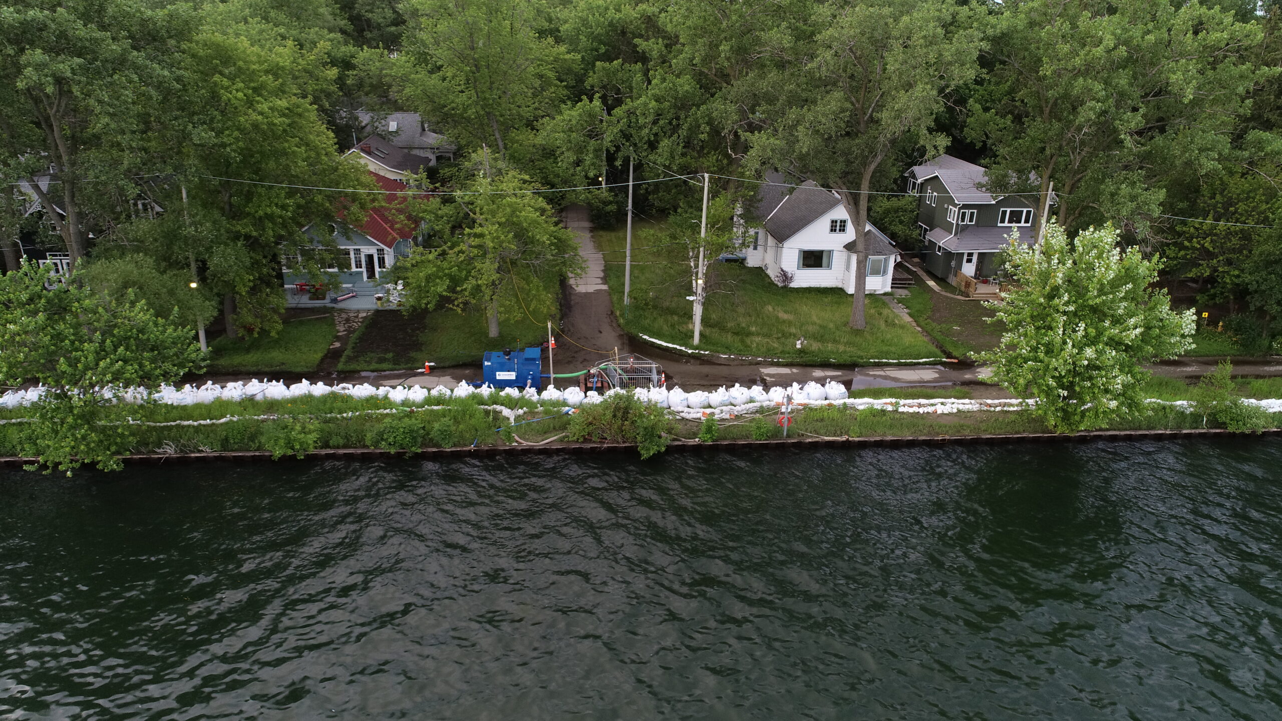
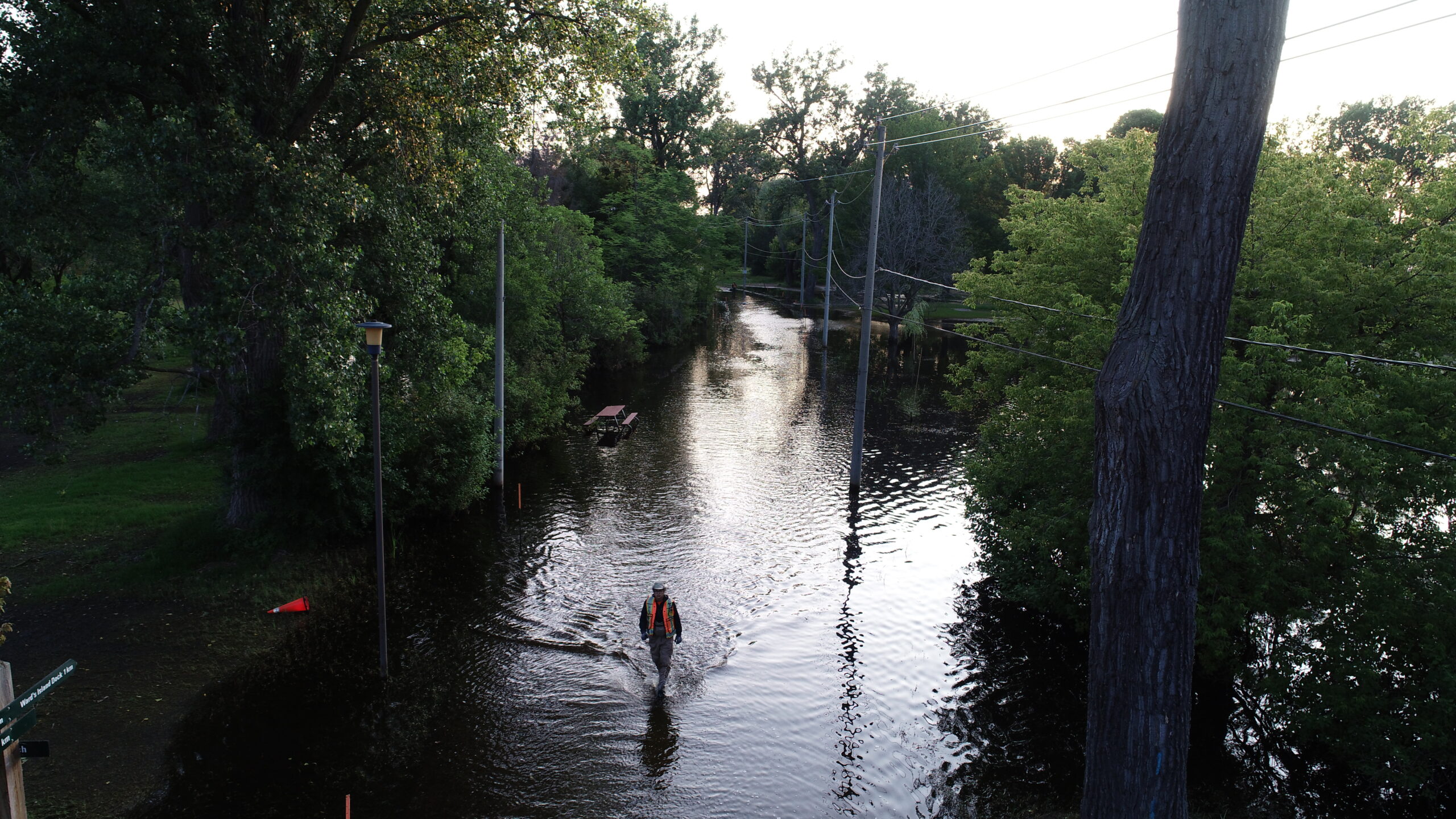 Roadways
Roadways
This study area includes sections of low-lying roads across the park. Some of these roadways overlap with the other study areas.
![]()
- 1 of 4
 Centre Island
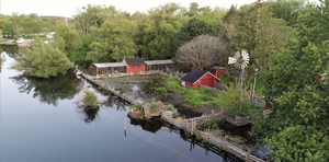
Centre Island
This study area includes many popular park attractions, including Centreville Amusement Park and a main ferry terminal.
![]()
- 2 of 4
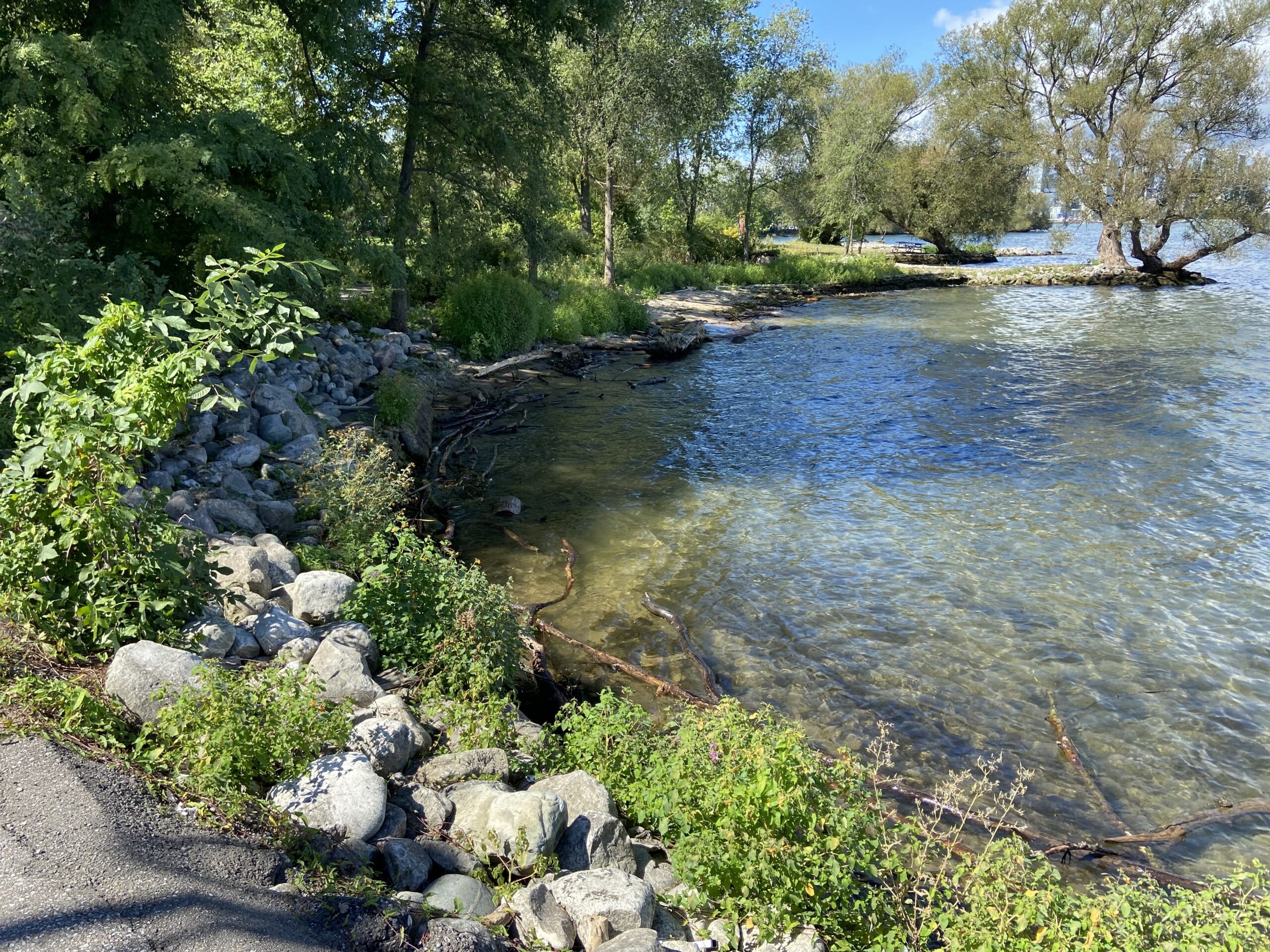
 Algonquin Island
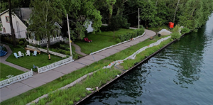 Algonquin Island
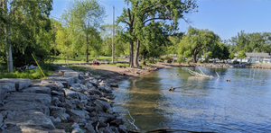
This study area includes quiet walking paths, a naturalized vegetation area, and a residential section of the park.
![]()
- 3 of 4
 Ward's Island
 Ward's Island
This study area includes a main ferry terminal, recreational areas, and a residential section of the park.
![]()
- 4 of 4
Toronto Island Park Flood & Erosion Mitigation Project
Toronto and Region Conservation Authority (TRCA), in partnership with the City of Toronto, is completing a flood and erosion control study at Toronto Island Park. The goal of the project is to develop long-term flood and erosion control measures to protect the park from shoreline flooding. To complete this study, TRCA has initiated a Class Environmental Assessment (Class EA) which gives the public an opportunity to participate and provide feedback. Your input will be incorporated into the planning and design process.
This study is being completed in coordination with the Toronto Island Park Master Plan. To learn more about the Master Plan that is being led by the City of Toronto, please visit: www.toronto.ca/islandmasterplan.
Watch a recording of the live event
An informational session with a live presentation and Q&A period was hosted by the Project Team on March 8, 2022 from 6:00-8:00 pm. If you were unable to attend the live webinar, a recording of the event has been made available as part of the Virtual Public Open House.
.