Ward's Island
Ward's Island is the easternmost area of Toronto Island Park. It features a ferry terminal, residential neighbourhood, beaches, and several naturalized areas that are part of Ward's Island Park. One focus area has been identified for Ward’s Island based on flood risk to existing infrastructure; this includes the ferry terminal and residential section of the island. Areas excluded from the scope include Ward's Island Park and Ward's Island Beach. These locations are subject to flooding during the 100-year flood event; however, they are uninhabited with no major infrastructure and therefore flood impacts are considered low.

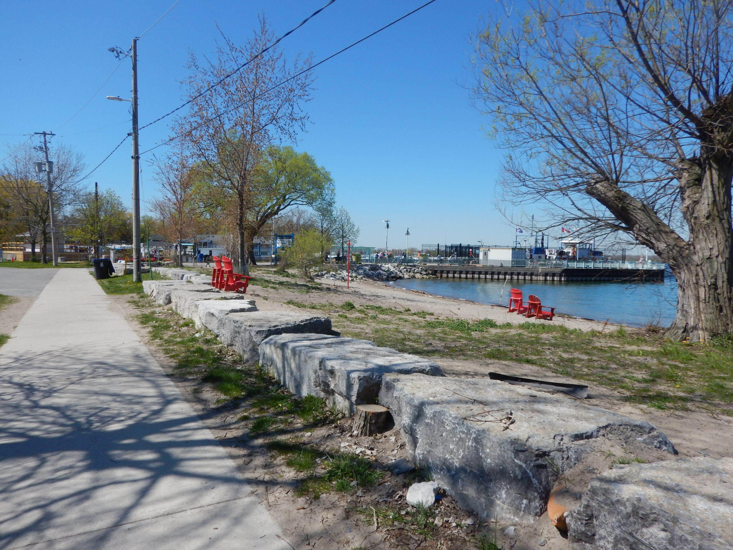
Ward’s Island Existing Conditions
Ward’s Island is relatively low-lying and is vulnerable to flooding during high lake levels. There are several existing structures installed around the shoreline; however, most structure heights are too low to provide adequate flood protection. Sandbags were placed in many areas along the shoreline during 2017 and 2019 to reduce flooding impacts. As part of the emergency works in 2020, a beach curb was installed north and south of the ferry terminal, including a rip rap and armourstone revetment at the north end of the beach.

Concept 1
Inland Steel Sheet Pile Flood Wall
Concept 1 involves installing a steel sheet pile flood wall that would follow the existing walkway and perimeter of the residential area. The height of the wall above ground would vary but exposed portions could be encased with brick or another material to improve appearance.


- Minimal maintenance required
- Requires least disturbance to existing naturalized areas
- Does not provide increased protection from shoreline erosion
- No added ecological benefit
- Restricts access to shoreline
- Higher cost solution compared to other alternatives
OVERALL EVALUATION RANKING: LOW
Concept 2
Revetment and Vegetated Berm
Concept 2 involves installing a vegetated berm that would follow the shoreline and then move inland to follow the perimeter of the residential area. The section of the berm along the shoreline would be supported by a rip rap revetment. The top of the berm could be designed to include a walking or biking path if desired.


- Berm could be designed with a walkway for added recreational value which would increase access to shoreline
- Provides some ecological benefit with vegetated berm
- Slightly less flood protection compared to Concept 1 since berm does not prevent seepage
OVERALL EVALUATION RANKING: HIGH
Concept 3
Beach, Groyne and Promenade System
Concept 3 involves installing a beach and promenade system along the shoreline. A berm would be installed along the back of the beach to provide flood protection and a pathway would be built on top of the berm to create a lakeside promenade.
This concept has three variations depending on the scale. Concept 3A includes three sand beaches that would be held in by three groynes. Concept 3B includes two beaches and groynes. Concept 3C includes one groyne and enhancement of the existing beach.


")
")
- Berm could be designed with a walkway for added recreational value which would increase access to shoreline
- Provides some ecological benefit with vegetated berm
- Slightly less flood protection compared to Concept 1 since berm does not prevent seepage
- Higher cost solution compared to other alternatives depending on selected concept scale
- Potential long-term maintenance required for beach nourishment
- Potential swimming safety concerns
- Largest vegetation and construction impact to site
OVERALL EVALUATION RANKING: MEDIUM