Roadways
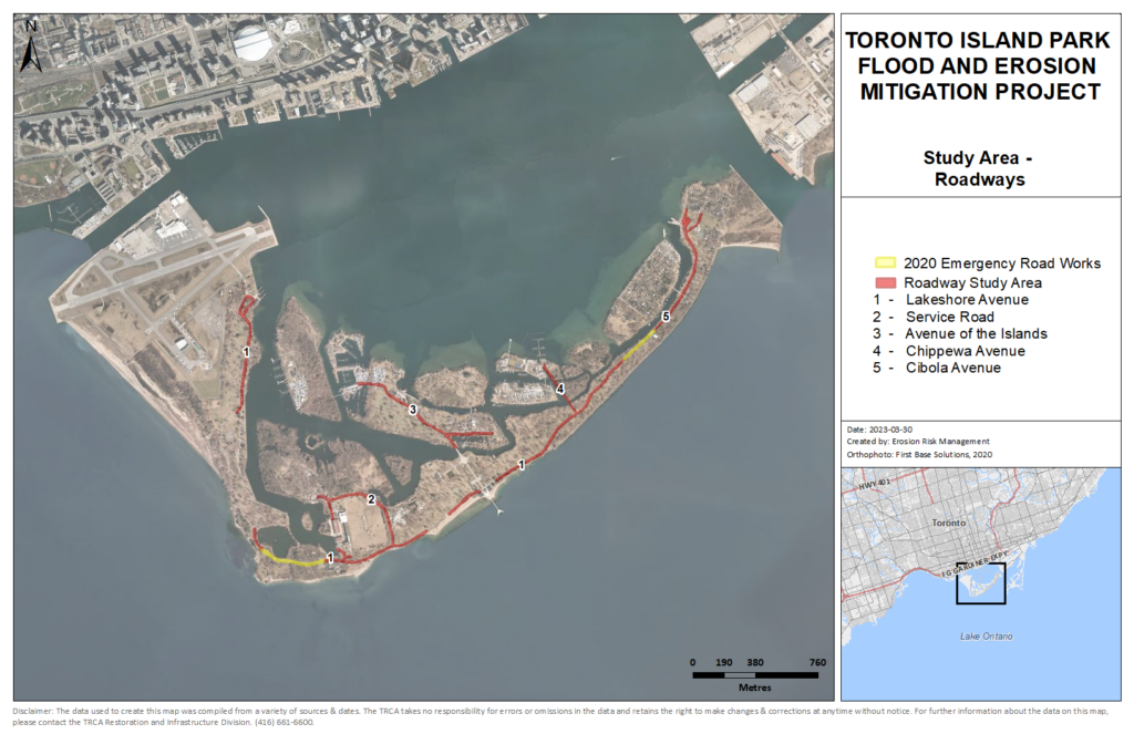
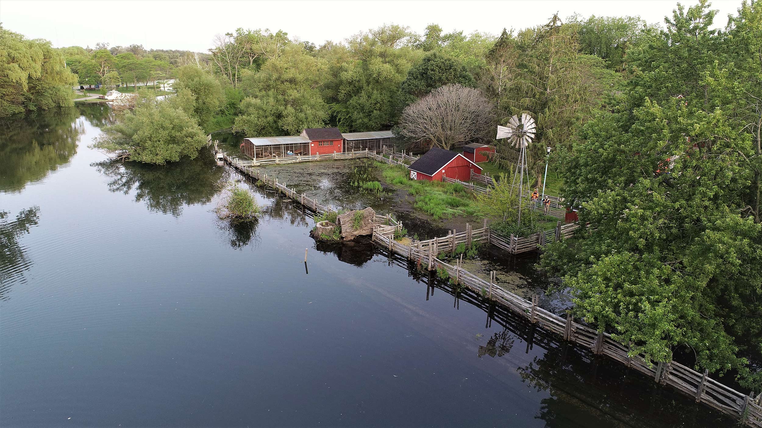
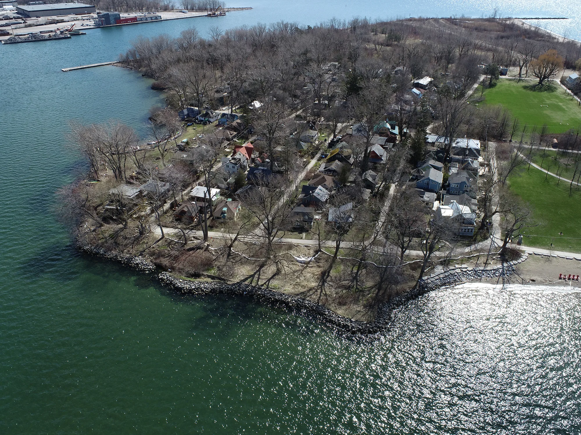
This study area includes sections of low-lying roads across the park that have been identified for protection based on flood risk. The roadway focus areas extend across the Island, both within and outside of other identified study areas. Nearly 6.5 km of roads across the park have been identified as focus areas for flood protection. Roadway flood protection generally involves raising the roads to a higher elevation.
Roadways Existing Conditions
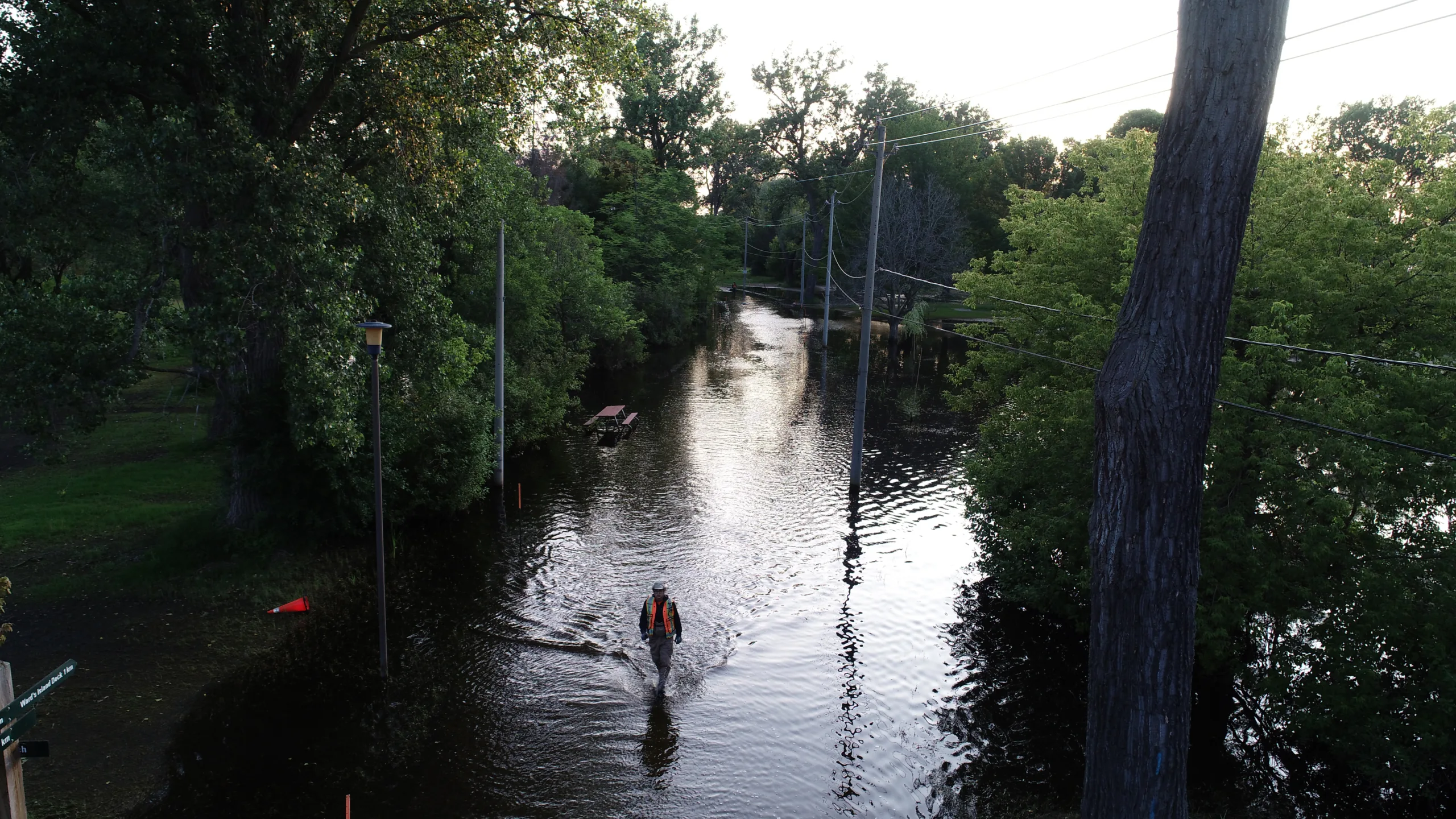
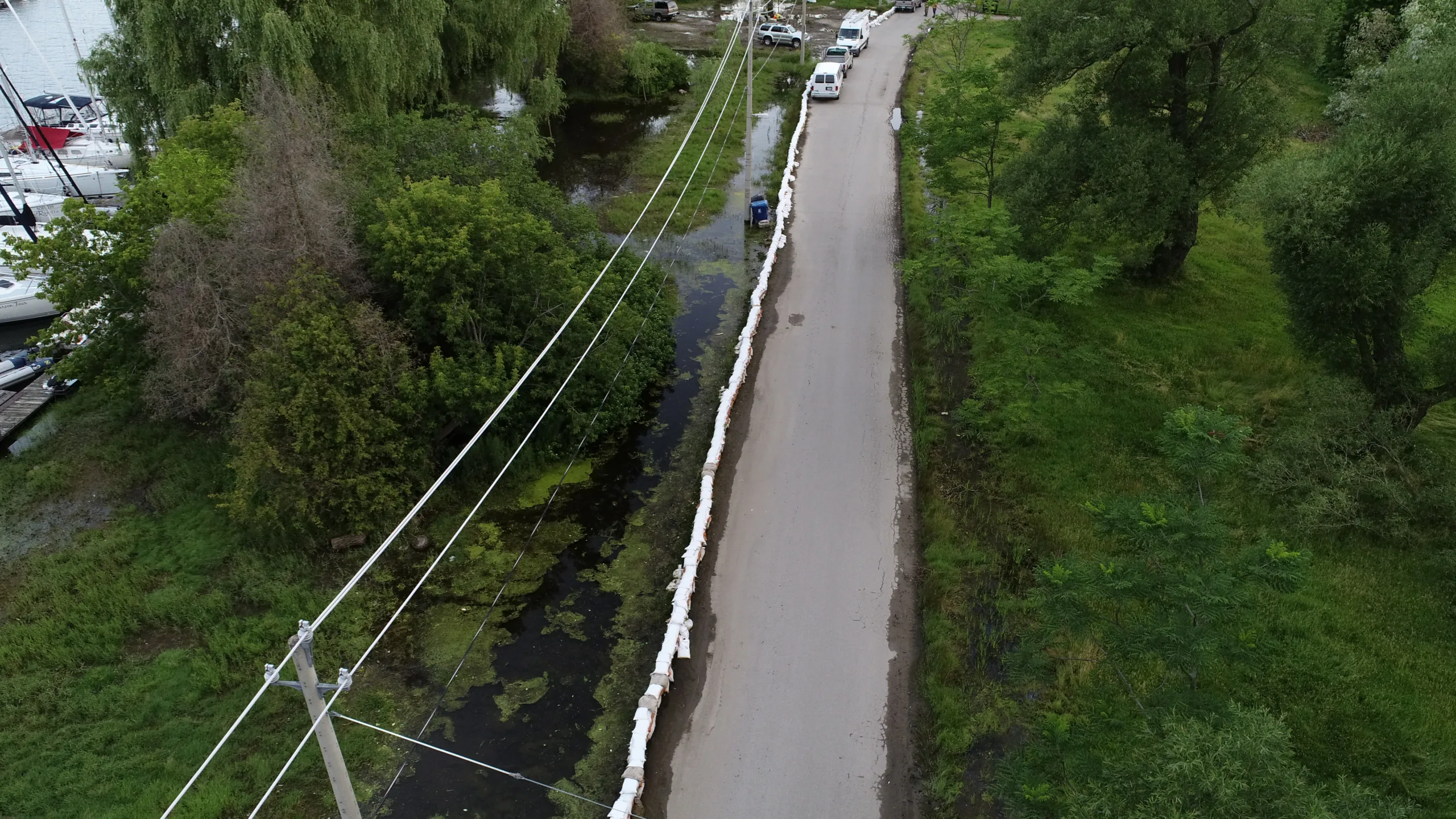
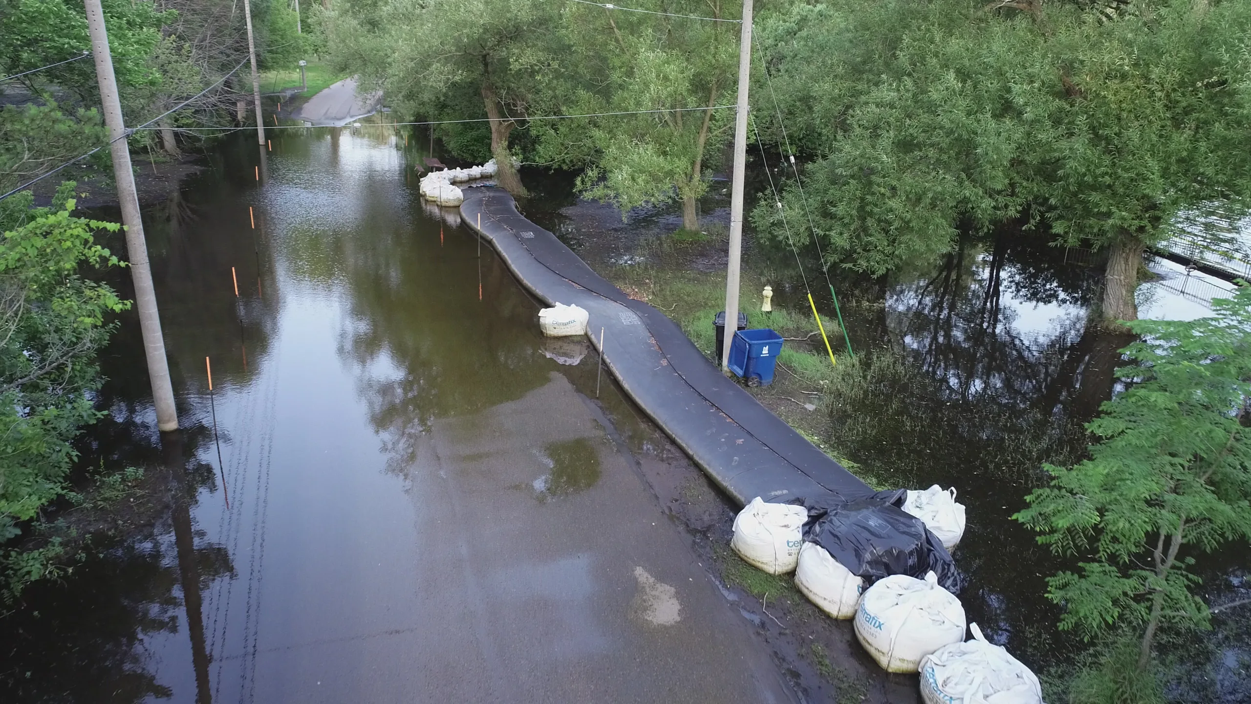
During the flooding in 2017 and 2019, flooded roadways restricted access and mobility around the park, impacting emergency services, residents, and businesses. As part of the 2020 emergency works, over 500 m of roadway was raised along Lakeshore Avenue and Cibola Avenue to maintain emergency vehicle access while the Class EA is completed.
What we heard
A range of alternative road raising methods were presented for this focus area, including clay cap, concrete core, concrete curb, or crusher run limestone options. During the first round of engagement, the clay cap option was presented as the highest ranked concept and the feedback we received supported this recommendation.
Preferred Concept Solution: Clay Cap
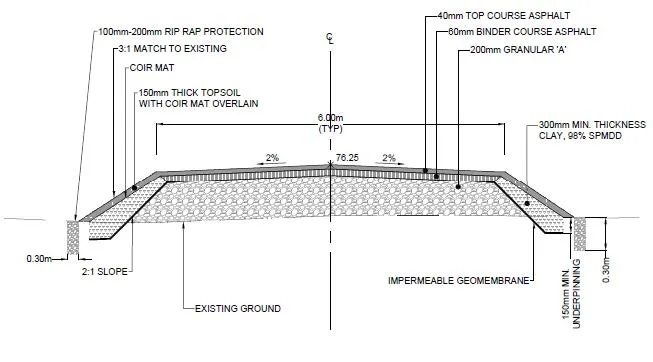
The preferred solution for the Roadways focus area is a clay cap. This solution involves raising the roadways above the 100-year flood level (76.25 m) to maintain access during a flood event. The road raising process will include capping the shoulder of the road with a clay layer to reduce permeability and create a flood barrier within the road itself. This concept was previously implemented as part of the 2020 emergency road raising works.
Detailed Environmental Analysis
The categories below summarize anticipated impacts of the proposed solutions for the Roadways study area. Interested in learning more? Click here to view the full Detailed Environmental Analysis for the Roadways study area.
Physical Environment
- The functionality of existing transportation routes will be significantly improved during a flood event
- Existing crossings may need to be modified to blend with changes in roadway elevation. This will be addressed during detailed design
- Surface drainage to the lake may be impeded. Further review during detailed design will be needed to mitigate this impact
- Noise and vibration impacts are expected during construction, but these will be temporary
Biological Environment
- Significant impacts are not expected since construction is generally limited to existing roadways and their immediate edges
Cultural Environment
- Changes in road elevation may impact the movement of pedestrian traffic across the site. This will be reviewed during detailed design to ensure proper blending of grades and reduce impact to recreational site use
Socioeconomic Environment
- Overall impacts are expected to be positive
- Roadway access during a flood event will be significantly improved across the park
- Infrastructure located next to the roads may be impacted by the change in road elevation. Further review will be completed during detailed design to address any impacts
Engineering/Technical Environment
- The design will address flood risk and hazards to currently vulnerable roadways
- Infrastructure located next to the roads may be impacted by the change in road elevation. Further review will be completed during detailed design to address any impacts

