Centre Island
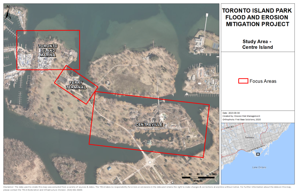
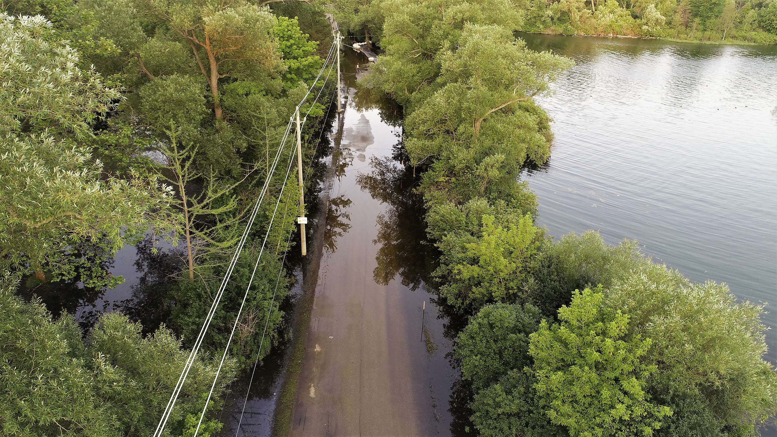
Centre Island is one of the main focal points of Toronto Island Park. The island includes many park attractions and visitor amenities. Three focus areas have been identified within the Centre Island study area based on flood risk to existing infrastructure. The focus areas within Centre Island include Centreville, Centre Island Ferry Terminal, and Toronto Island Marina.
Centre Island Study Area
Select a focus area to learn more about the preferred concept solution.
Overview of Centre Island Flood Solutions
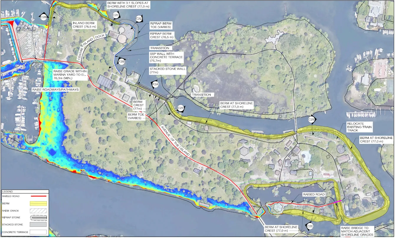
Separate sets of concept designs were developed for each focus area in Centre Island to ensure that flood solutions are suitable to various site conditions and needs across the study area.
The preferred solution for Toronto Island Marina is localized land raising and a shoreline flood berm. The preferred solution for Centre Island Ferry Terminal is a stacked/stepped wall. The preferred solution for Centreville is a naturalized shoreline and flood berm.
More information about these solutions can be found on each focus area page.
The map shows how the preferred solutions for each focus area will work together to protect the Centre Island shoreline in the event of another flood. With these solutions in place, the key focus areas will be protected from flooding impacts.
Some flooding is still expected in areas along the southwest shoreline of Centre Island. This area was not targeted for flood protection since no major park infrastructure or amenities are located here so flood risk is considered low.
Detailed Environmental Analysis
The categories below summarize anticipated impacts of the proposed solutions for flood mitigation at Centre Island. Interested in learning more? Click here to view the full Detailed Environmental Analysis for Centre Island.
Physical Environment
- Flood protection measures will improve roadway transportation routes during a flood event
- Naturalization of the Centre Island shoreline will provide local improvements to water quality
- Existing bridge crossings to the Carousel Café and Olympic Island may need to be modified to match new shoreline grades. This will require further review during detailed design
- The installation of impermeable flood barriers around the shoreline of the study area will impede surface drainage to the lake. The addition of sump pumps or other considerations will need to be reviewed during detailed design to mitigate this impact
- Noise and vibration impacts are expected during construction, but these will be temporary
- The steel sheet pile wall and stepped concrete wall components may encroach onto the lakebed and disrupt water taxi service, requiring new mooring points
Biological Environment
- Overall impacts are expected to be positive since the landscape in this study area is largely manicured and large portions of the existing shoreline are hardened
- Naturalizing the shoreline around Centreville and the Marina will improve wildlife and fish habitat as well as habitat linkages
Cultural Environment
- Overall impacts are expected to be positive
- Recreational opportunities, aesthetic features, and access to the shoreline will be improved and enhance park user experience
Socioeconomic Environment
- Overall impacts are expected to be positive
- Improved site access and pedestrian traffic routes during a flood event will benefit tourism operations
- Improvements to the Centre Island shoreline may result in increased tourist traffic which could increase pressure on land use and existing infrastructure
Engineering/Technical Environment
- Overall impacts are expected to be positive
- Erosion and flood risks will be reduced
- Existing shoreline infrastructure will be improved

