Design
Learn about design considerations for the West Segment, Brimley Road South Multi-Use Trail, our 60% design, trail renderings, and impacts & mitigation.
.
Brimley Road South Multi-Use Trail
What's wrong?
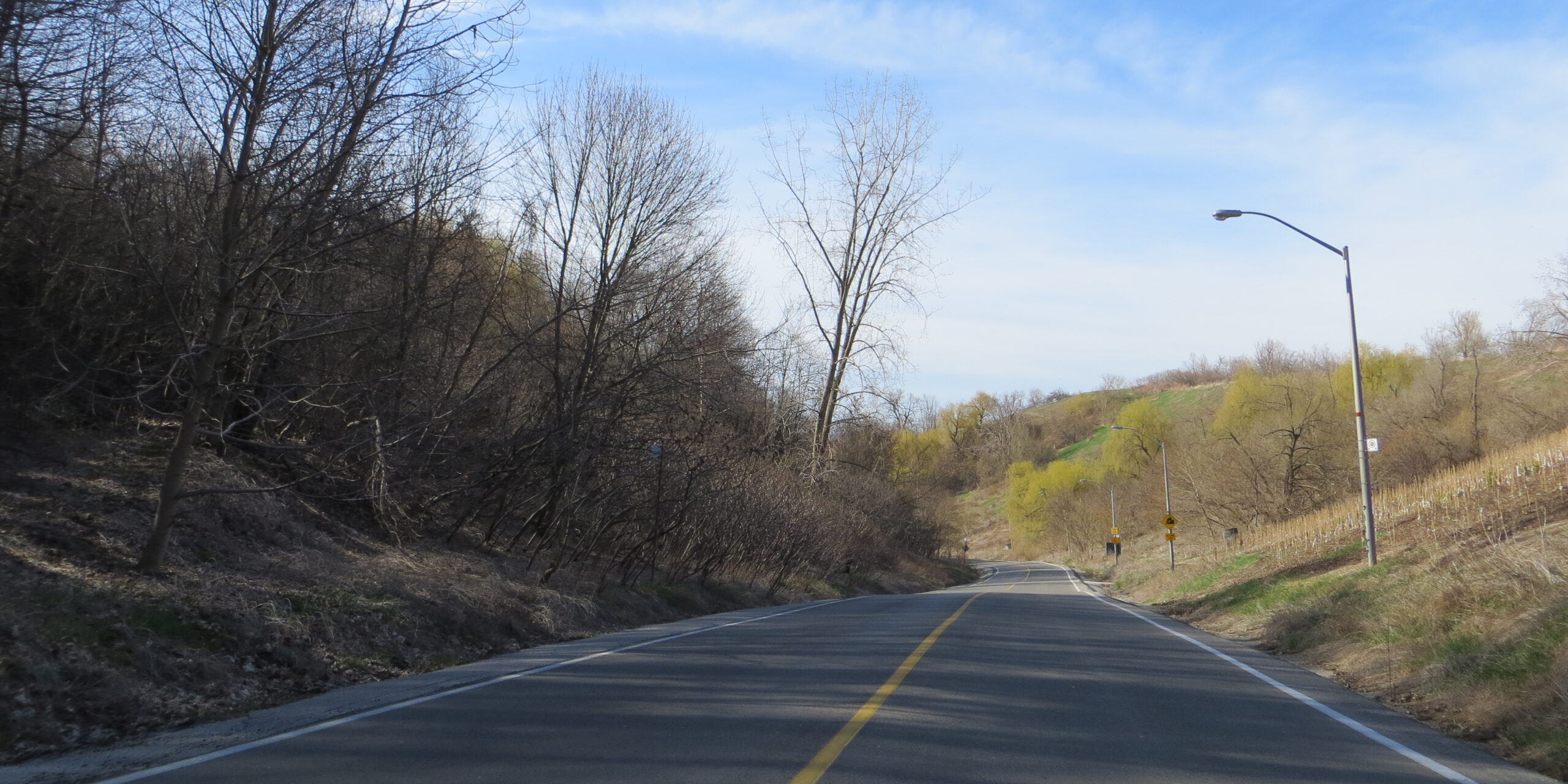
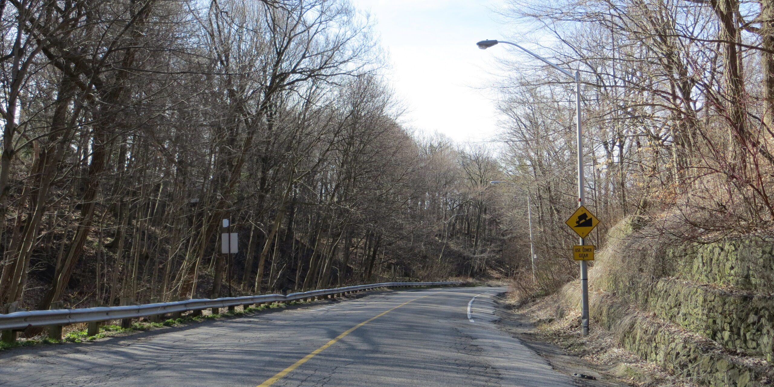
- The EA established there is a need for improved pedestrian and cyclist access down Brimley Road South, starting at Barkdene Hills. This is a challenging and unsafe area to navigate for users due to the steep grades and lack of a safe walkway for the upper two-thirds, with no separation between pedestrians, cyclists and vehicles.
What are we doing?
- Improving pedestrian and cyclist access, in alignment with the City’s Vision Zero Safety Plan.
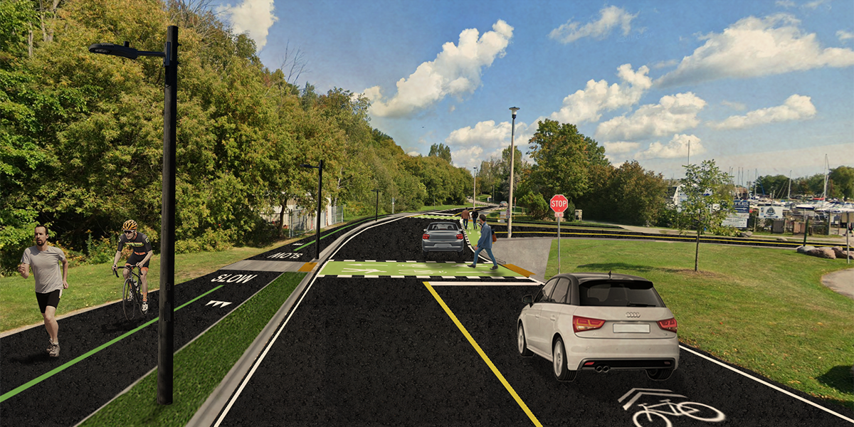
- Completing intersection crossing upgrades at Brimley Road and Barkdene Hills, through pavement markings and the addition of an all-way stop.
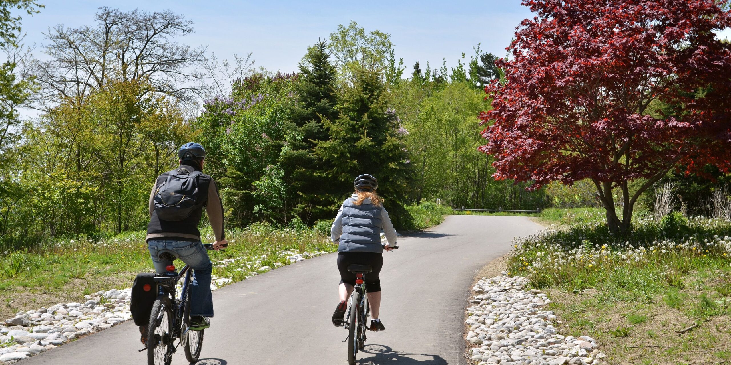
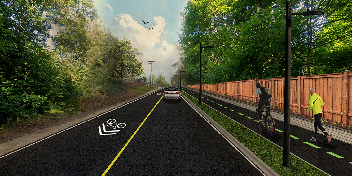
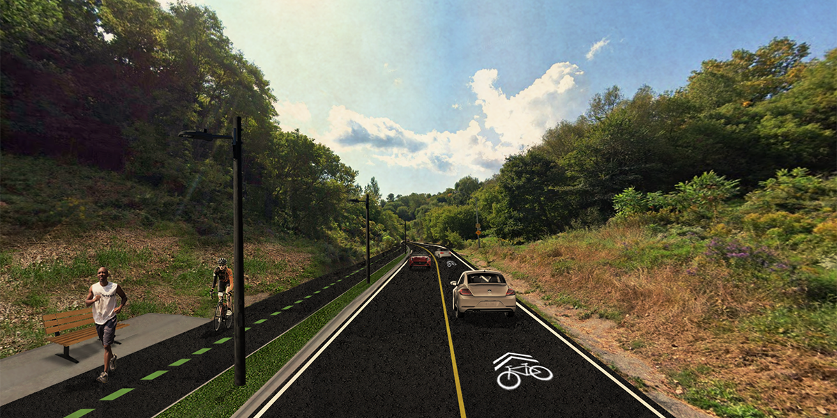
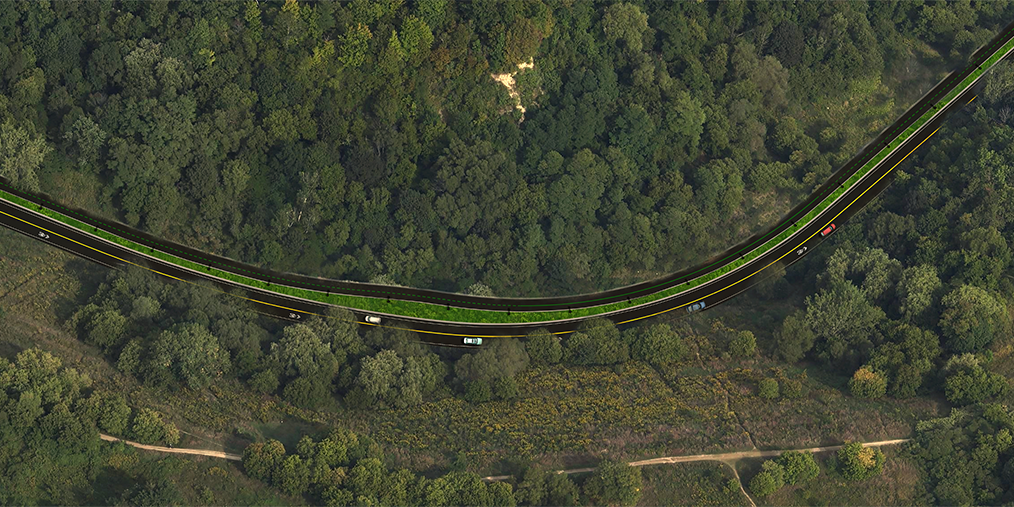
- Designing an illuminated fully curbed 3.6-4.1 metre-wide paved multi-use recreational trail for pedestrians and uphill cyclists.
- Improving conditions for Brimley Road through road resurfacing.
- Adding a shared downhill cycling lane.
Key constraints for design & construction
- Sensitive ravine environment in the City's natural heritage system that includes a designated Environmentally Sensitive Area (ESA) and Area of Natural and Scientific Interest (ANSI).
- Trail is to be constructed within the City's road right-of-way, to the extent possible.
- Very steep grade, ranging from 4% to 17%.
- Steep valley slopes, supported by retaining walls on the west side of the road.
- Existing street lighting on the west side of the road.
- Underground water utility infrastructure on the east side of the road.
- Contains a capped municipal landfill from the 1960s.
- Landfill monitoring infrastructure.
.
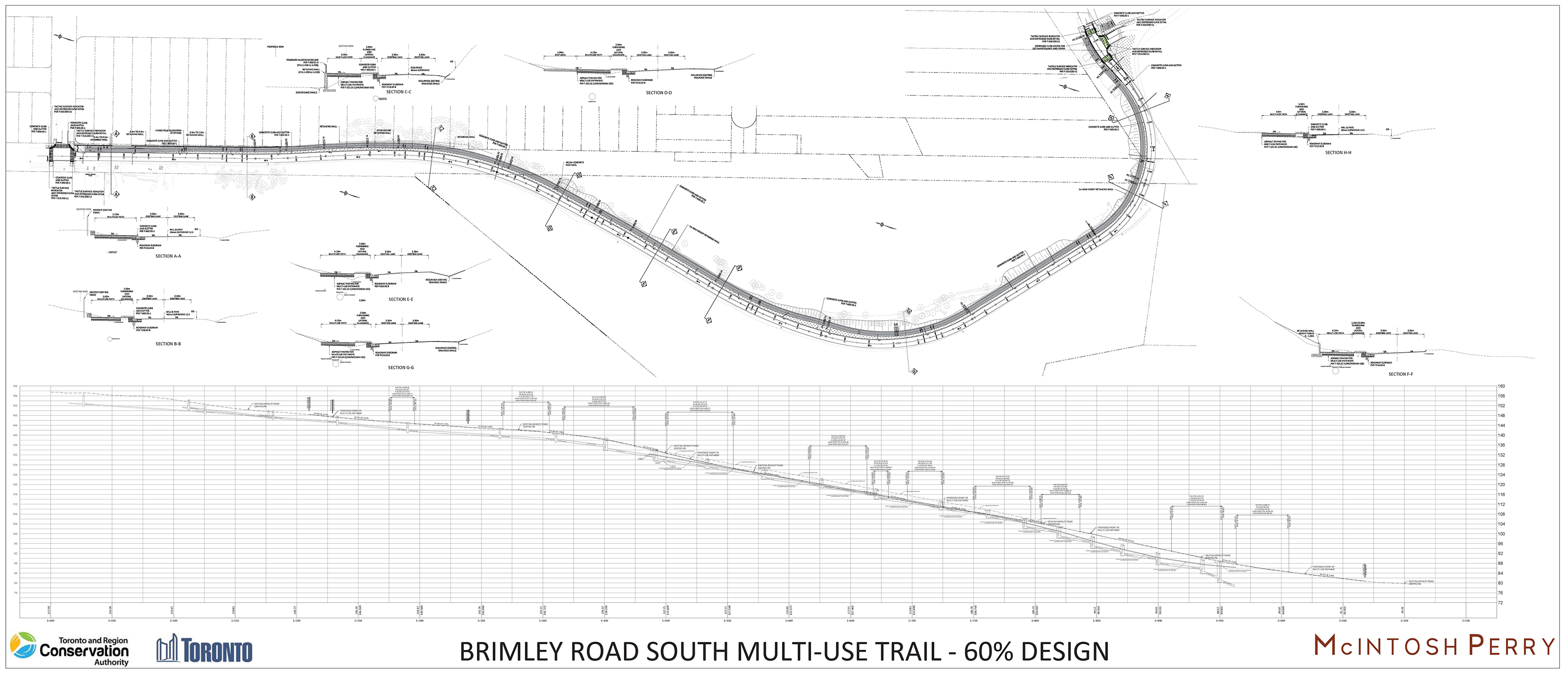
The 60% Design
For a virtual walk-through of the design drawing and key features, please watch our Project Overview presentation.
.
Trail Renderings
.
Impacts & Mitigation
Construction Impacts & Mitigation

Impacts
- Construction traffic and lane restrictions/closures on Brimley Road South
- Construction noise and dust
- Potential for landfill material/contaminated soils exposure
- Removal of unpermitted rear property access
- Potential impacts to property fencing
- Impacts to private backyard trees through pruning or removals
- Potential impacts to backyard structures (e.g., decks, sheds, etc.) due to construction vibration

Mitigation
- Construction will be in accordance with City by-law hour and noise restrictions
- Appropriate construction timing windows will be established in consultation with the City
- Clean up activities (e.g., street sweeping) will be undertaken to manage dust
- A community liaison officer will be available during construction to act as a single point of contact during construction
- A Soils Management Plan will be adhered to should landfill material or contaminated soil be found
- Secondary access points are not permitted
- A registered survey will be completed to confirm fence impacts; impacted fencing will be reinstated
- Impacted or removed trees will be offset through coordination with City Urban Forestry and individual landowners
- A pre-construction inspection of applicable backyard features will be completed
Operation Impacts & Mitigation

Impacts
- Pedestrian, cyclist and road traffic, with potential for an increase in noise and a feel of reduced privacy for adjacent landowners
- Increased street parking
- Increased light from illuminated trail
- Increased trash in the area from trail users

Mitigation
- No change to the volume of pedestrians, cyclists and vehicles is expected
- TRCA will continue to work with the City to assess the feasibility of noise/privacy barriers, where appropriate
- City parking by-laws in the surrounding area will continue to be enforced
- Trail lighting will be designed to focus illumination on the trail surface, and avoid impacts beyond the trail
- The trail will be maintained year-round by the City, similar to the surrounding sidewalks
- The trail will provide pedestrians and cyclists with safer roadside conditions

